This report covers the conditions and activities observed from August 4, through September 1, 2025. The next report is scheduled for Monday, September 29, 2025. In the event of any significant occurrences prior to that date, this site will be updated as soon as possible.
Typical summer-time temperatures dominated the weather during August, with monsoonal flows adding a bit of “color” to the start of the 2025 harvest. Daily maximum temperatures ranged from the mid-80’s to as high as 106 degrees throughout the period, with highest values reported in the southern San Joaquin Valley. Meanwhile, morning lows exhibited a similar pattern, ranging predominately between the upper 50’s and upper 60’s.
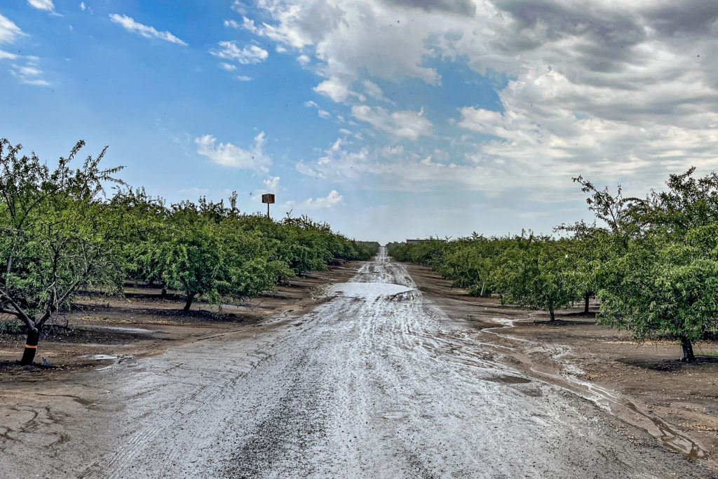
Greatest impacts from the weather came in the form of monsoonal flows that traveled northward along the east side of the central valley on Tuesday, August 26th. The flow generated fairly intense thunderstorms along its path, dropping from 0.25 to 0.75 inches of rain from Kern though Stanislaus counties, with lesser amounts reported in areas of the Sacramento Valley.
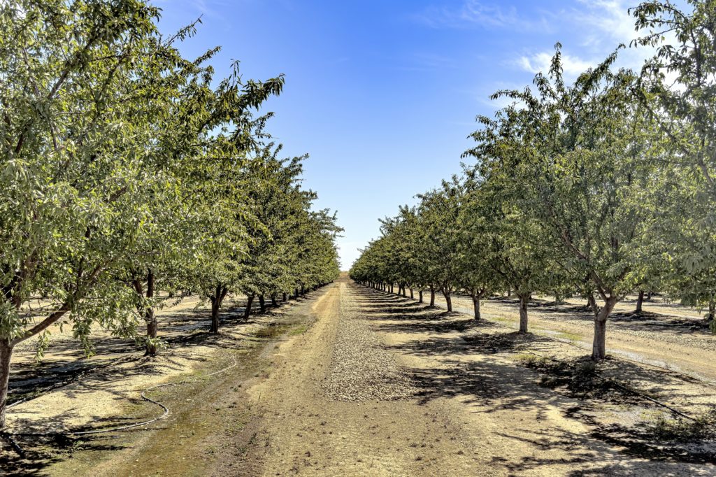
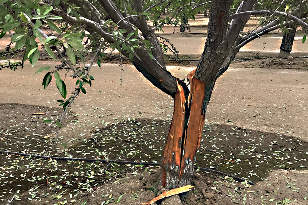
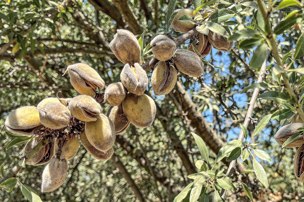
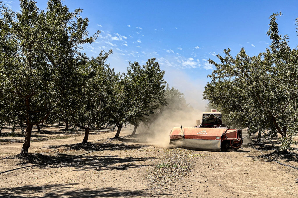
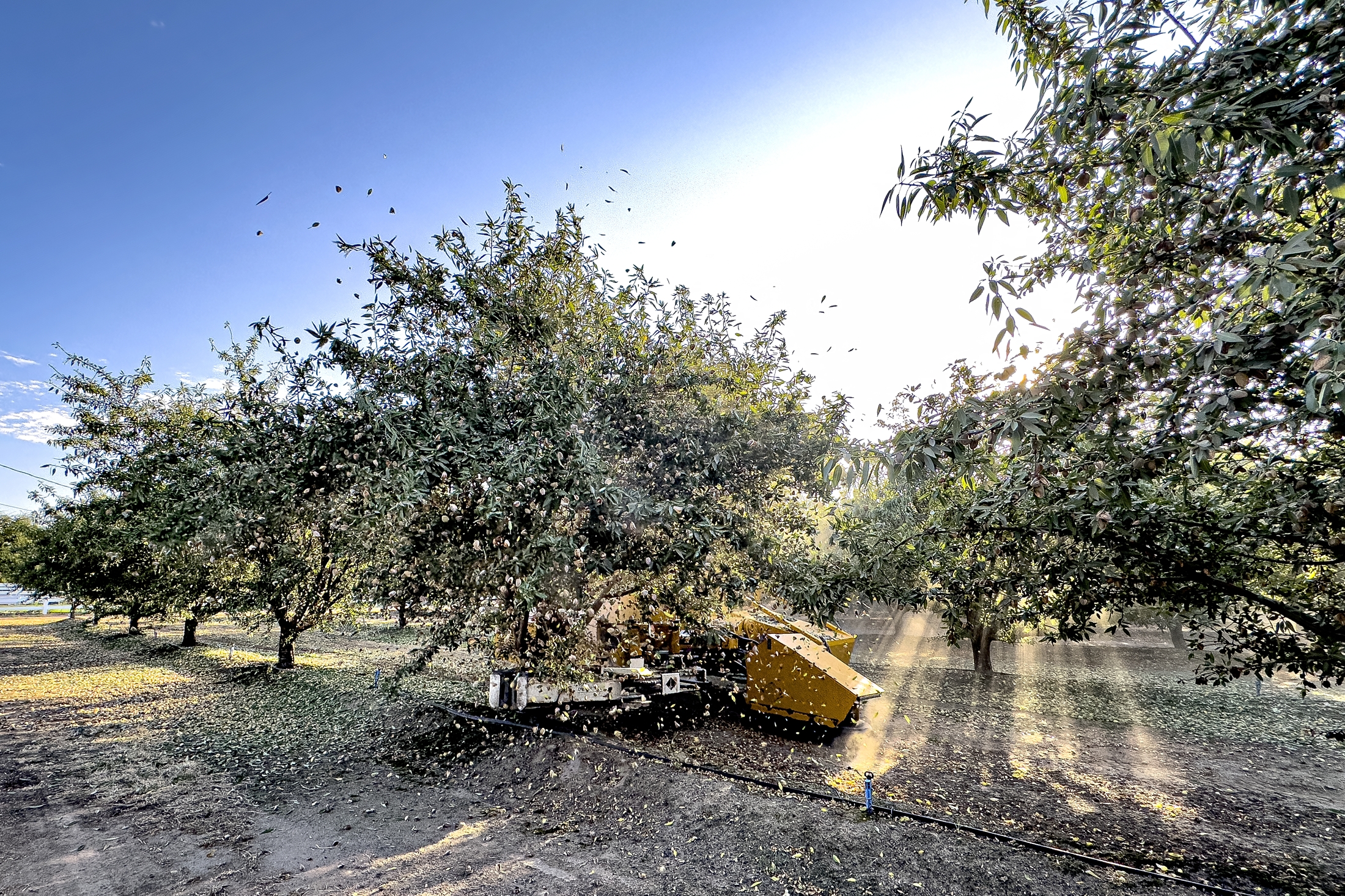
Observers are reporting that the pace of harvest increased dramatically during the period as harvest machinery moved aggressively through the early maturing Nonpareil and Independence varieties. Harvest operations along the eastside of the San Joaquin Valley were brought to a halt in areas receiving the greatest amounts of rainfall. Observers noted orchards planted in the east side rolling hills had puddles of water collecting in the low-lying areas, inundating previously shaken almonds. Fortunately, the storms were a single day event and the high temperatures, accompanied by light breezes have promoted drying within the orchards. Most growers in the impacted areas were able to resume the harvest in the final days of the period while others worked to promote drying of rain-soaked crops,
Quite a few huller/sheller managers have noted that their growers will finish shaking the early maturing varieties in the first week of September. As this report was being written, growers in the earliest harvesting areas of the west side were sending shakers into California type varieties, Butte, Padre, and in the most advanced plantings of the typically late harvesting Monterey.
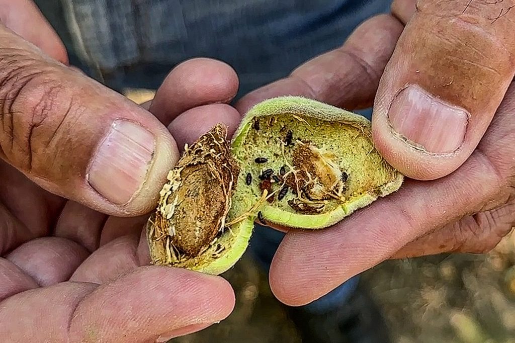
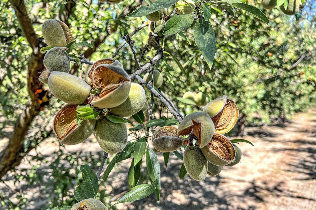
Reject levels reported so far are running similar to those reported in the 2024 crop. Damage caused by growers’ perennial nemesis, navel orangeworm (NOW) continues to create problems, while losses due to feeding by leaf-footed plant bug and stink bug continues to increase in prevalence. Reports of low NOW trap catches as the Nonpareil approached critical hull split timing faded as a trap captures increased precipitously during the split Catches then increased again for the third “flight” during August, threatening the later splitting pollinizer varieties. As shown in the photos accompanying this report, Carpophilus beetles have been observed in several orchards. Little is currently understood about this new invasive insect. Pest Control Advisors and University of California researchers are monitoring orchards in an effort to understand the insect’s life cycle and develop best practices for control.
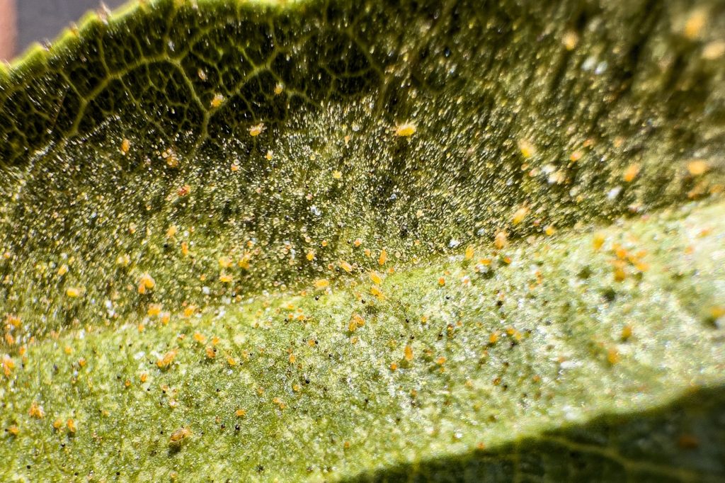
Growers are reporting increasing populations of web-spinning mites in recent weeks. Mites can cause premature defoliation, reducing the tree’s ability to produce and store carbohydrates needed for the following crop year. In the most intense infestations, trees will leaf out and even bloom prior to winter, consuming next year’s stored energy, reducing the yield potential of next year’s crop. Some growers have opted to treat those orchards presenting the greatest risk of defoliation.
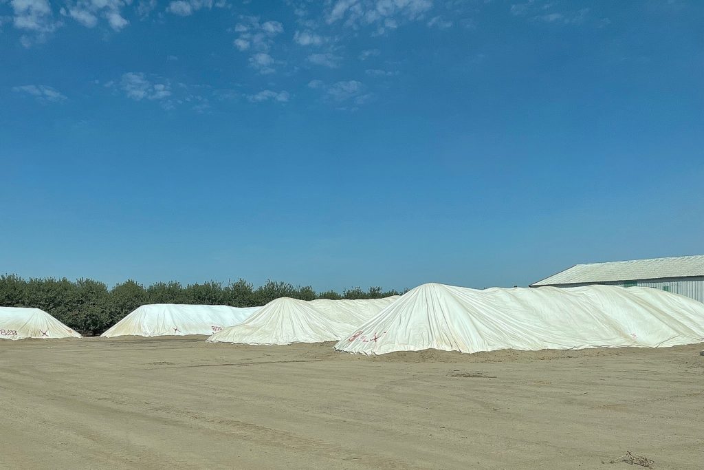
Huller/sheller managers are reporting “normal” flows through their machinery, in contrast to the very fast pace experienced in the 2024 harvest. Those unable to handle the flow from the orchards have begun diverting crops into stockpiles for processing after the field harvest has been completed.
Special Note: Harvest operations were briefly interrupted on Tuesday, September 2nd by early morning thunderstorms that passed over the central valley. Unlike the previous week, these storms moved up the highway 99 corridor and covered the entire width of the valley. Areas receiving the greatest amount of rainfall will require a few days to allow product to dry within the orchards. However, most areas received that a scattering of rain and hot afternoon temperatures nearing 100 degrees allowed operations to resume later in the day.
By Mel Machado
Photo Credits: Anthony Scudder, Carla Youngblood, KC Clendenin, Austin Jackson, Nicole Jansen and Mel Machado